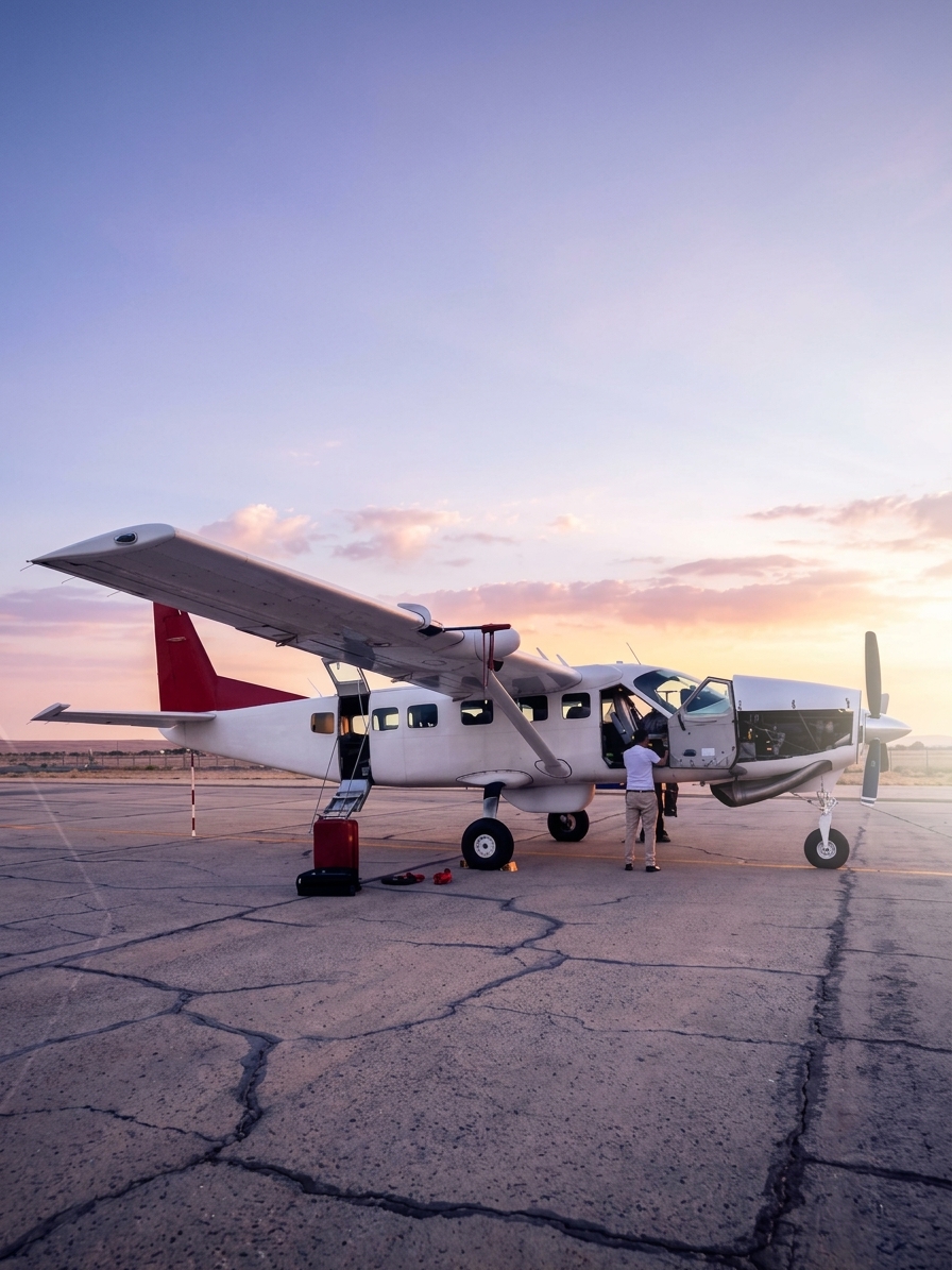

FalconViz aircraft stationed in Saudi Arabia for wide-area mapping

A connected acquisition network

Scale when the project is massive. Frequency when every change matters.

Aircraft and autonomous DJI Dock operations are not standalone survey services. They are repeatable sources of evidence connected directly to processing, GEO AI analysis, expert review and decision platforms.

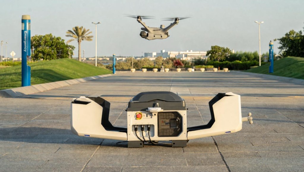
DJI Dock autonomous monitoring system

The intelligence stack

Choose the evidence the decision requires.

Aircraft Mapping example01

How do we capture massive terrain efficiently?

Aircraft Mapping

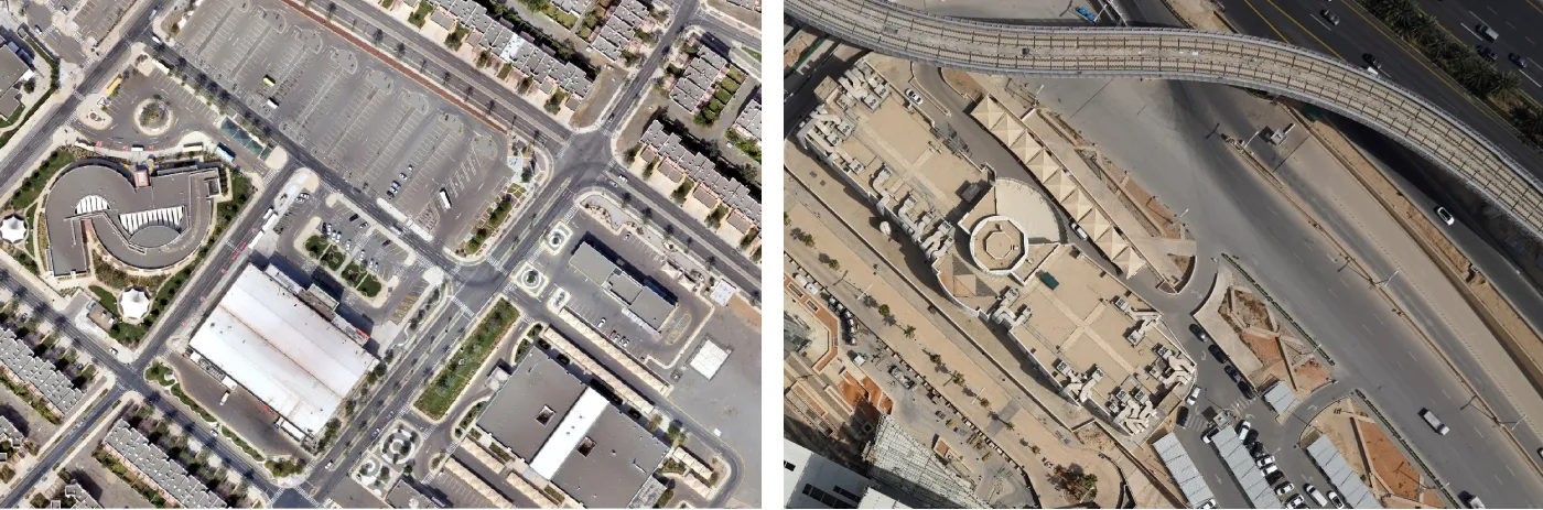
Use Saudi-based aircraft capability to acquire consistent wide-area data across regions, major corridors and large development programs.

Typical decision outputs

Regional imagery programs
Wide-area terrain and elevation data
Consistent acquisition across major AOIs
DJI Dock Operations example02

How do we turn repeat capture into continuous intelligence?

DJI Dock Operations

Operate scheduled and event-driven autonomous missions that feed repeatable evidence into inspection, monitoring and GEO AI workflows.

Typical decision outputs

Scheduled autonomous missions
Remote inspection and live awareness
Repeat change and progress monitoring
Satellite Intelligence example03

What changed, where and when?

Satellite Intelligence

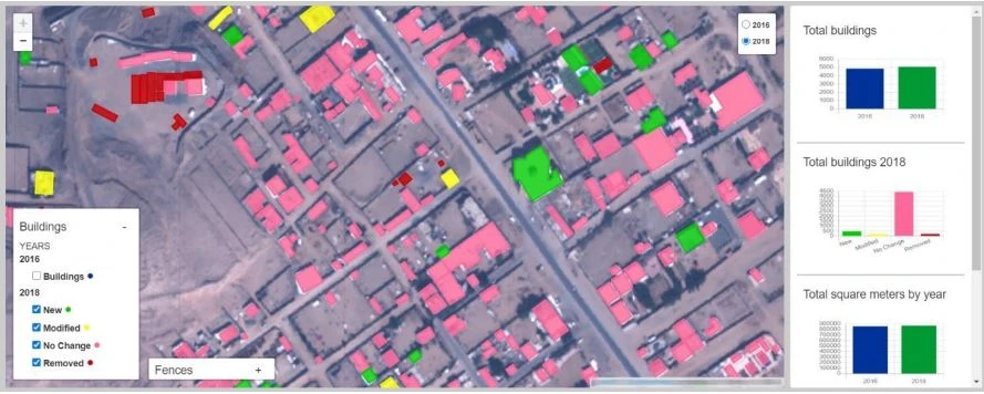
Establish regional context, monitor development and screen large areas before focused fieldwork.

Typical decision outputs

Archive and new-task imagery
Change and feature extraction
Regional monitoring dashboards
Aerial Intelligence example04

What is happening on site now?

Aerial Intelligence

Capture current, high-resolution evidence for mapping, progress, quantities, inspection and planning.

Typical decision outputs

Orthophotos and terrain models
Measured progress and quantities
Visual and thermal inspection
Ground Reality Capture example05

What exists at asset level?

Ground Reality Capture

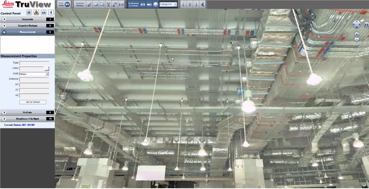
Document structures, streets, facilities and interiors with terrestrial and mobile reality capture.

Typical decision outputs

Registered point clouds
Scan-to-CAD and BIM
360° asset context
Subsurface Intelligence example06

What lies below the surface?

Subsurface Intelligence

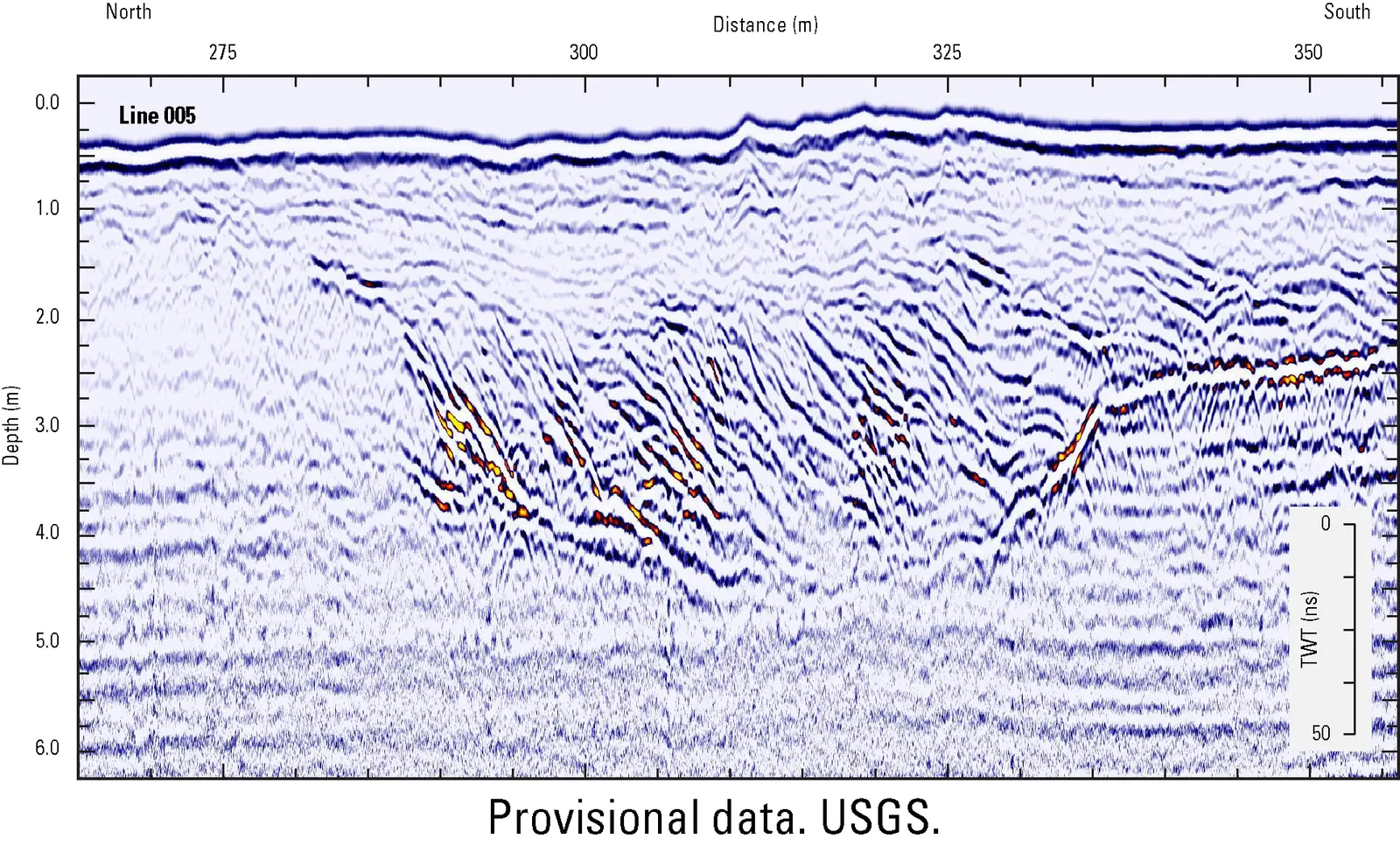
Bring buried assets, anomalies and ground conditions into the same planning picture.

Typical decision outputs

GPR profiles
Utility location and depth
Subsurface risk layers
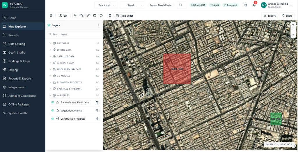
GEO AI & Machine Learning example07

What deserves attention first?

GEO AI & Machine Learning

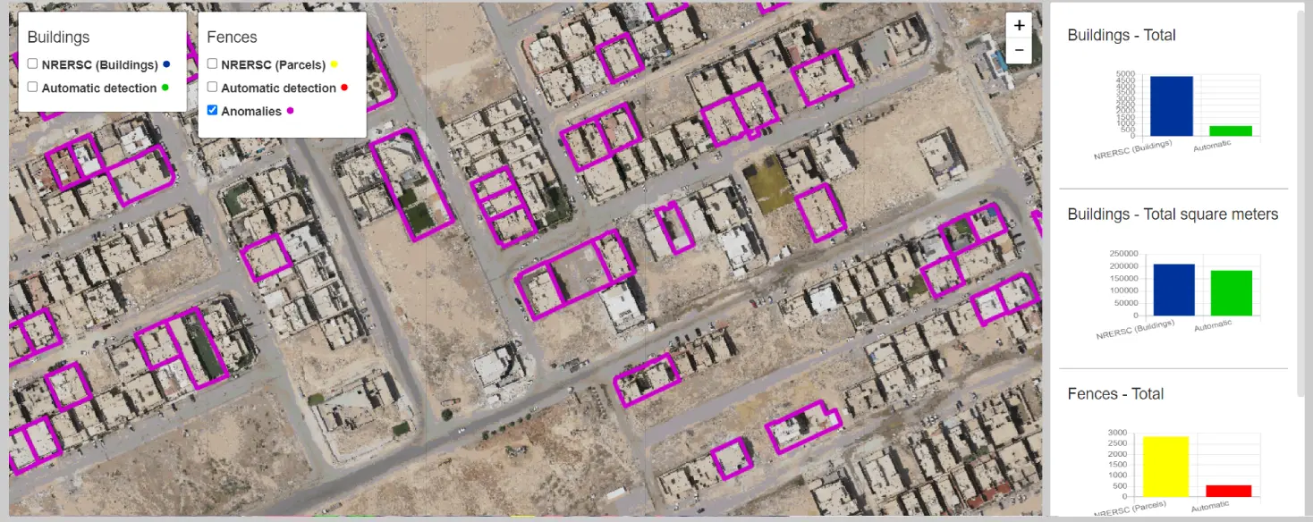
Detect features, classify change, document confidence and focus expert review across imagery, missions and spatial datasets.

Typical decision outputs

Object and feature extraction
Change classification
Confidence-led priority screening
Decision Platforms example08

How do teams act on one shared picture?

Decision Platforms

Connect maps, 3D context, evidence and recommendations in an accessible decision environment.

Typical decision outputs

Executive dashboards
Digital twin views
Role-based reporting

Your project

Start with the decision you need to make.

We will identify the spatial evidence required to support it.

Discuss Your Project