Disconnected surveys
Creates uncertainty that surfaces later as redesign, delay or avoidable risk.
GEO AI / Spatial intelligence / Saudi Arabia
GEOVIZ connects aircraft, satellites, DJI Dock, drones, ground and subsurface data with AI and machine learning—turning real-world change into clear, prioritized action.
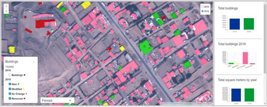
Prioritize newly added and modified structures for review.
Change detection classifies added, modified and removed buildings.
Real outputThe decision gap
Scroll to bring the layers together
Creates uncertainty that surfaces later as redesign, delay or avoidable risk.
Creates uncertainty that surfaces later as redesign, delay or avoidable risk.
Creates uncertainty that surfaces later as redesign, delay or avoidable risk.
Creates uncertainty that surfaces later as redesign, delay or avoidable risk.
GEOVIZ brings every relevant layer together before the decision is made.
From data to direction
01
Capture the relevant aircraft, satellite, autonomous drone, ground and subsurface information.
The GEO AI layer
GEOVIZ does more than display geospatial data. It learns from imagery and spatial history to detect what exists, understand what changed and direct attention to what matters next.
Explore GEO AIExtract buildings, assets, vegetation, vehicles, defects and other defined features.
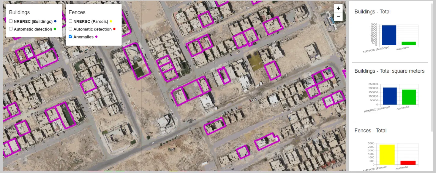
Classify added, modified and removed features across dates and data sources.
Apply confidence and decision rules to rank locations that need expert attention.
Deliver alerts, dashboards and recommendations that connect insight to action.
Acquisition at every scale
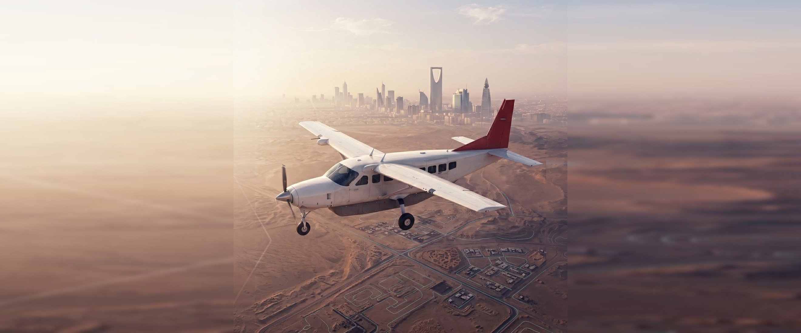
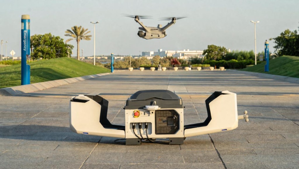
GEOVIZ combines the right acquisition system with the right GEO AI workflow—wide-area aircraft capture when scale matters, and DJI Dock operations when frequency and responsiveness matter.
Regional scale
Continuous intelligence
Capabilities
Sensors and software matter. What matters more is the question they help answer.
Industries & decisions
Why GEOVIZ
Information is delivered with transparent confidence and limitations.
Selected applications
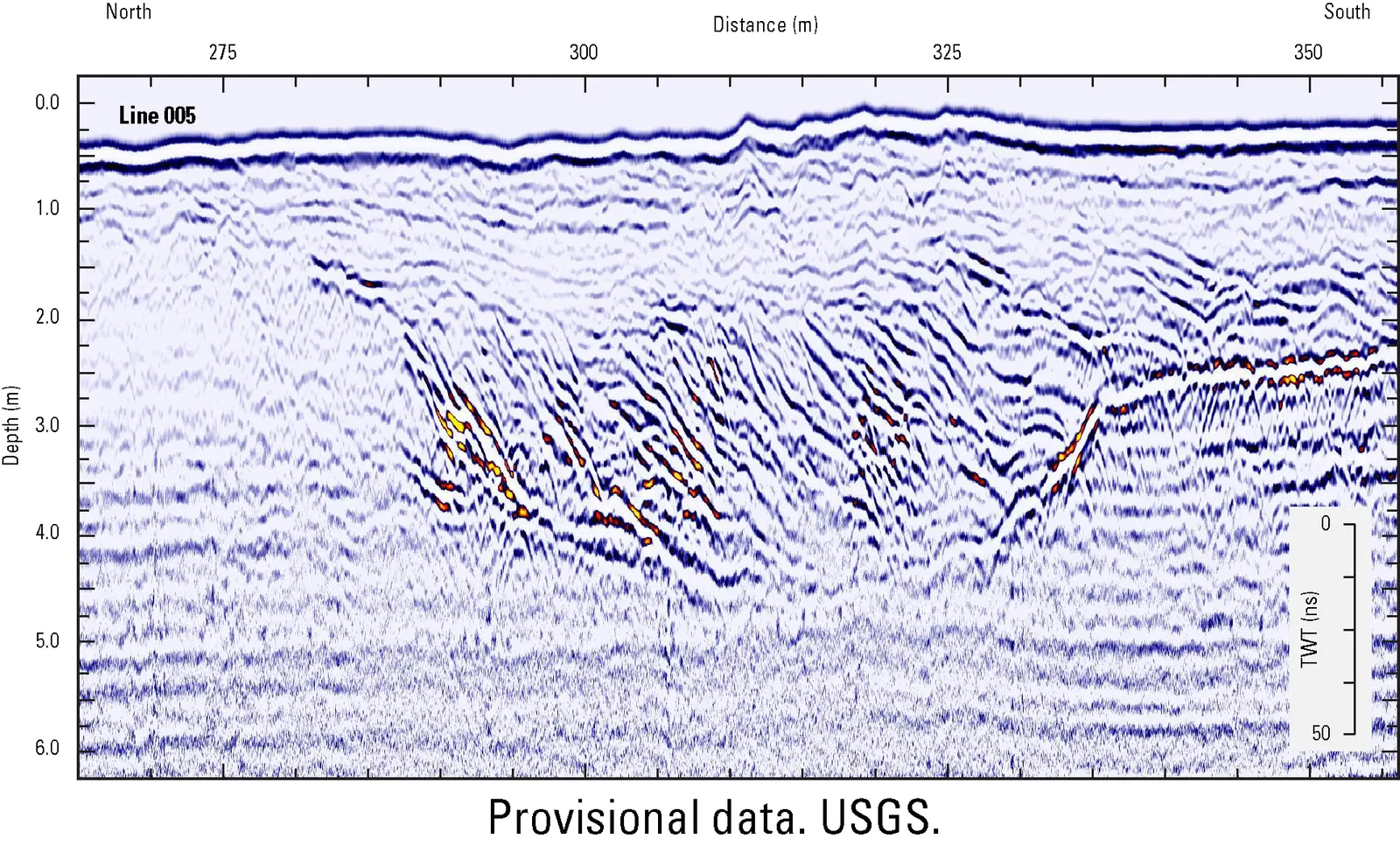
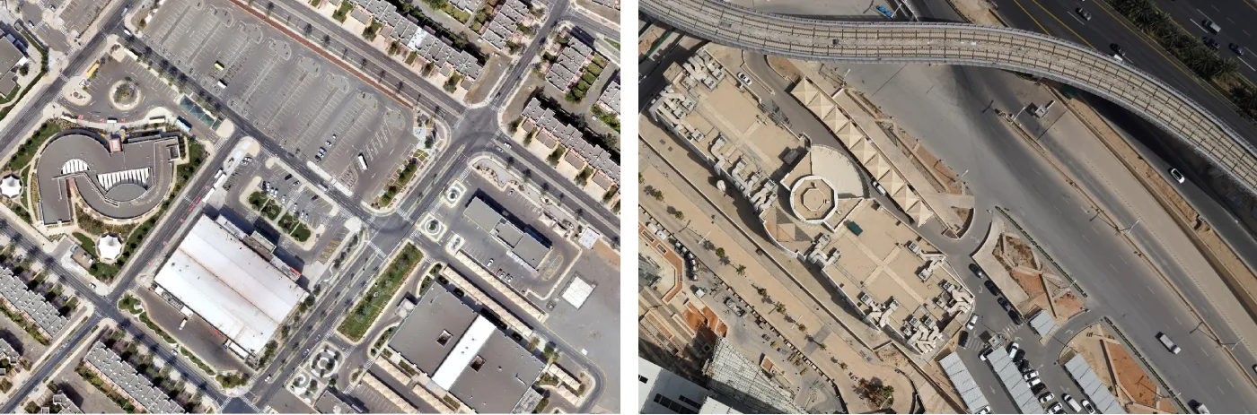
Draft case-study structure. Client names and measured outcomes will only be added after approval.
Insights
Practical perspectives on AI, autonomous monitoring and decision intelligence for leaders shaping infrastructure, development and the environment.
Saudi-based acquisitionHuman-verified GEO AIDecision-ready recommendations
Five tests leaders can apply before relying on a model-generated spatial finding.
Editorial draftWhy the strongest spatial-intelligence programs begin with a decision question, not a technology list.
6 min read · In reviewHow accuracy, uncertainty and limitations should be communicated to decision-makers.
5 min read · In reviewA practical model for combining automated detection, confidence scoring and expert verification.
7 min read · In reviewWhere fragmented surveys and isolated reports create risk across a project lifecycle.
4 min read · In reviewThe capture, alignment and validation choices that determine whether change can be trusted.
8 min read · In reviewHow to structure spatial platforms around actions, owners and next steps.
6 min read · In reviewDraft editorial titles. Articles will be published after subject-matter review.
Start with the decision
Tell us about the place, challenge or project. We will identify the spatial intelligence needed to move forward with confidence.
Your project information will be treated as confidential and reviewed by the appropriate specialist.
Thank you. A specialist can review this confidential project information as the next step.