
Transportation
Transportation

Powered by AI, our aerial and terrestrial equipment can analyze traffic data, survey and report on road networks, and visually inspect facades along the corridor.
Services
- Terrestrial Road Mapping and Surveying
- Road Asset Digitization
- Construction Road Surveying
- Corridor Aerial Surveying and Mapping
- Underground Utilities Detection
- Aerial Traffic Analysis
- Railway Aerial Visual Inspection
- Transportation Infrastructure Inspection
- 2D and 3D Road Profile Extraction
- Road Building Facades Mapping
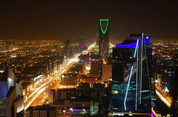
G20 Street Mapping Platform
We designed and developed a GIS online platform (G20- Corridors) for the Royal Commission of Riyadh City to visualize the mass models of the main corridors in Riyadh (6 main promenades in Riyadh city) and 360° street image (day and night) captures. The platform has been designed to enable the engineering consultants (AECOM) to assess the buildings and plots visually, and to identify the right interventions to visually enhance the building's facades.
Traffic Analysis
We conduct traffic analysis using one of the latest innovative AI cloud-based platforms. We have conducted studies in many different locations:
- Eastern Region, the first industrial city (with Modon)
- King Abdullah University of Science and Technology (KAUST), Security Gates
- Al Balad, the historical district at Jeddah, round-about (with Beauhappold)
Trusted by the Following Clients
Contact us
Get a Quote
We provide an up-front quotation on your project so you’ll know the total cost without any surprises and be in control of the cost
Get Quote